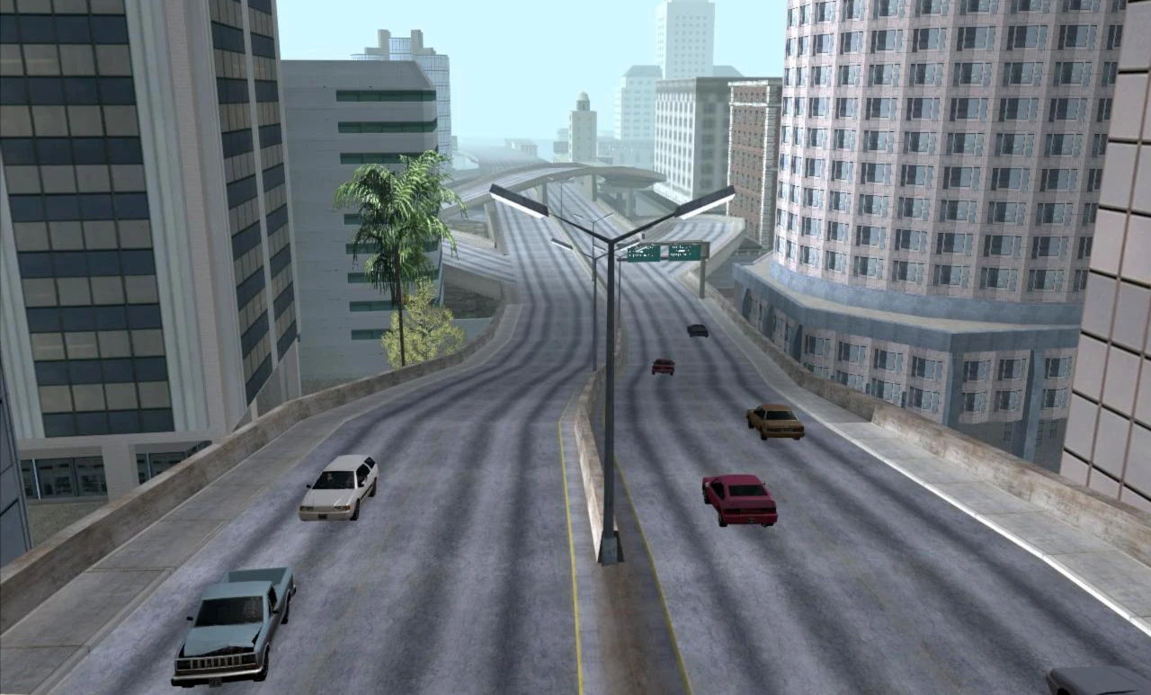
A stretch of the freeway in Los Santos, GTA San Andreas.
The Los Santos Freeway is a highway in the game Grand Theft Auto: San Andreas.
Description
Interstate 25, The Los Santos Freeway, is a major highway connecting Los Santos with Las Venturas and Red County. The highway is a four lane highway with a wide median in Red County. But, in Los Santos it has predominantly a median with a concrete barrier, but at times it's like a curb with street lamps in the middle of the freeway for illumination at night. In Downtown it meets Interstate 125, a short freeway to go near Grove Street, where Carl Johnson lives. Near the airport, for a short time, the median has two guard rails on each side keeping traffic to their own side, this is due to a tunnel upon which the freeway must encounter. The freeway ends briefly in Ocean Docks and becomes a major road (as Interstate 425) through East Beach. Then, after clearing the docks and a few residential home (by way of traffic lights) it becomes a freeway again, on the other side of Red County. When it nears Las Venturas at the Montgomery Intersection, it turns and heads west towards its starting point, while staying in Red County the second time around, which makes it a looped highway. Traffic on the freeway is often chaotic as drivers cut each other off and cause pile ups and eventually explosions when one or more cars over turn or when the player fires a rocket from a rocket launcher at the traffic. At that time, drivers will try and flee their cars before they explode, but usually they die in the process and then it sets off a chain reaction as drivers who didn't flee their cars try to outrun the pileups and subsequent explosions. Most times, they succeed. Sometimes, they fail and die whilst trying to escape. The traffic levels bounce off from time to time, as traffic tries to get where they need to go. Sometimes, it's an easy commute with little traffic, while other times it can be a nightmare with a lot of traffic, especially around the Los Santos International Airport area.
Traffic
Most of the traffic along I-25, the Los Santos Freeway, is within the city limits of Los Santos, and is primarly residential traffic. By the Los Santos International Airport, Buses and Coaches join the freeway along with other commercial vehicles. In Red County, the traffic is more rural and industrious as Linerunners frequently use this stretch of the freeway along with other semis.
Exits
Here are some of the roads the Los Santos Freeway meets (freeways included)
The "northbound" route is the freeway going clockwise, the "southbound" route goes counter-clockwise.
The exits are listed in clockwise order.
| Exit # | Exits | Destinations | Remarks |
|---|---|---|---|
| 1 | Palomino Creek 1 |
North: Harry Gold Parkway West: Julius Thruway West, Bone County, San Fierro East: Julius Thruway East |
Half-clover interchange |
| 2 | Palomino Creek 2 | East: Red County, Los Santos | Three-way interchange |
| 3 | Los Santos - Red County | Los Santos - Red County West: Vinewood |
Three-way interchange |
| 4 | East Beach |
West: Vinewood, Mullholland Drive East: El Corona |
Four-way interchange |
| 5 | Playa del Seville 1 | East: East Beach Freeway Extension |
Two-way intersection Southbound exit only |
| 6 | Playa del Seville 2 | East: Los Santos International Airport | Four-way intersection |
| 7 | Ocean Docks 1 |
West: Verona Beach East: Los Santos International Airport |
Four way intersection |
| 8 | Ocean Docks 2 | East: Ocean Docks |
Four-way intersection Southbound exit only |
| 9 | Ocean Docks 3 | West: Ocean Docks |
Two way intersection Northbound exit only |
| 10 | Ocean Docks 4 | East: Ocean Docks |
Two way intersection |
| 11 | Verdant Bluffs | West: Ocean Docks | Four-way intersection with overpass |
| 12 | Los Santos International Airport | North: Playa del Seville |
A unique interchange with ramps on the southbound side and a road that forms a wye on the northbound side |
| 13 | East Beach Freeway Extension | West: Playa del Seville | Semi-direction T-interchange |
| 14 | Mullholland Intersection | West: East Beach | Four-stack interchange |
| 15 | Vinewood |
West: Los Santos East: Red County, Palomino Creek |
Half-trumpet interchange Northbound exit, southbound entrance |
| 16 | Red County |
West: Palomino Creek East: Los Santos |
Half-clover interchange Take to start the northbound portion all over again or continue northbound to exit 17 |
| 17 | Julius Thruway | South: Palomino Creek | Four-way intersection |
Trivia
- The highway has a total length of 5.5 miles (8.8 kilometers), making it the longest highway in San Andreas.
Gallery
")